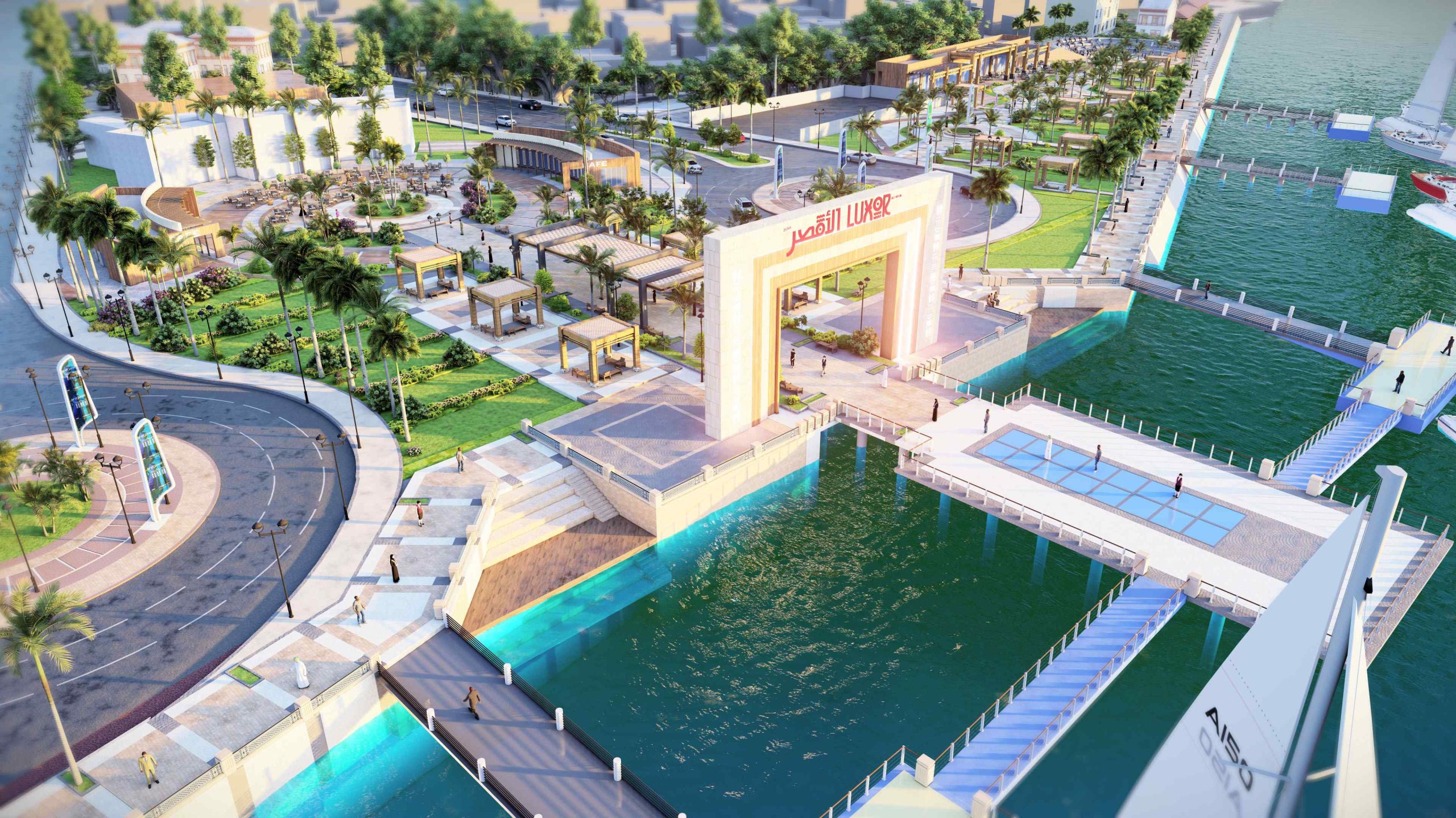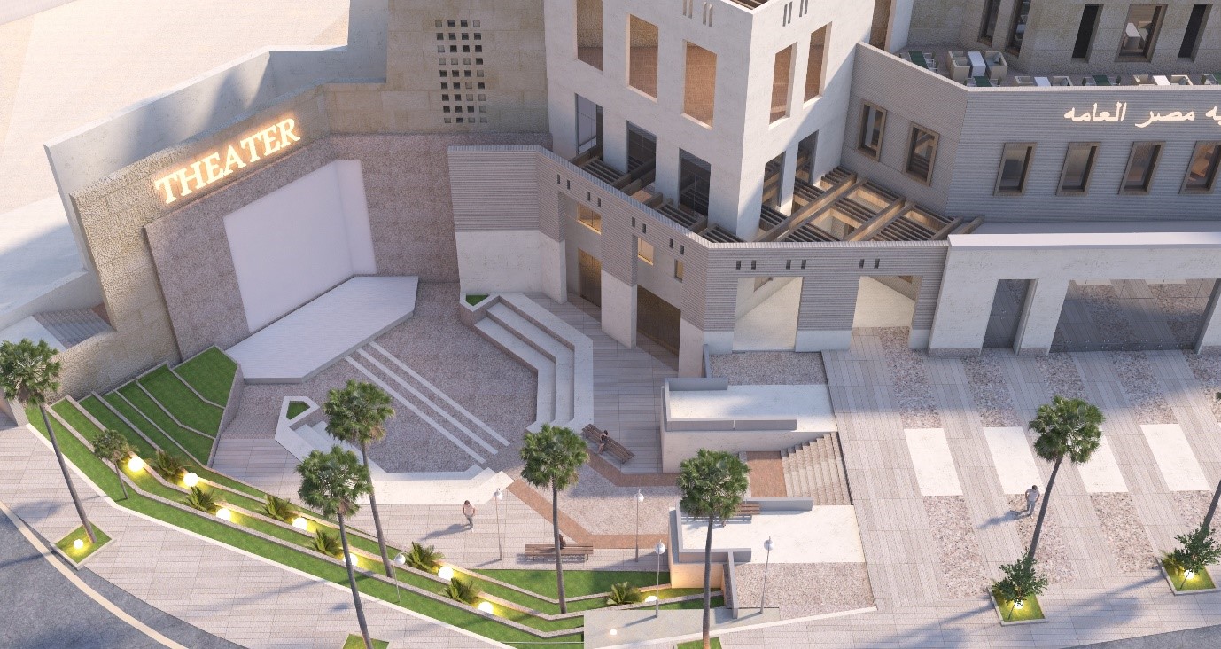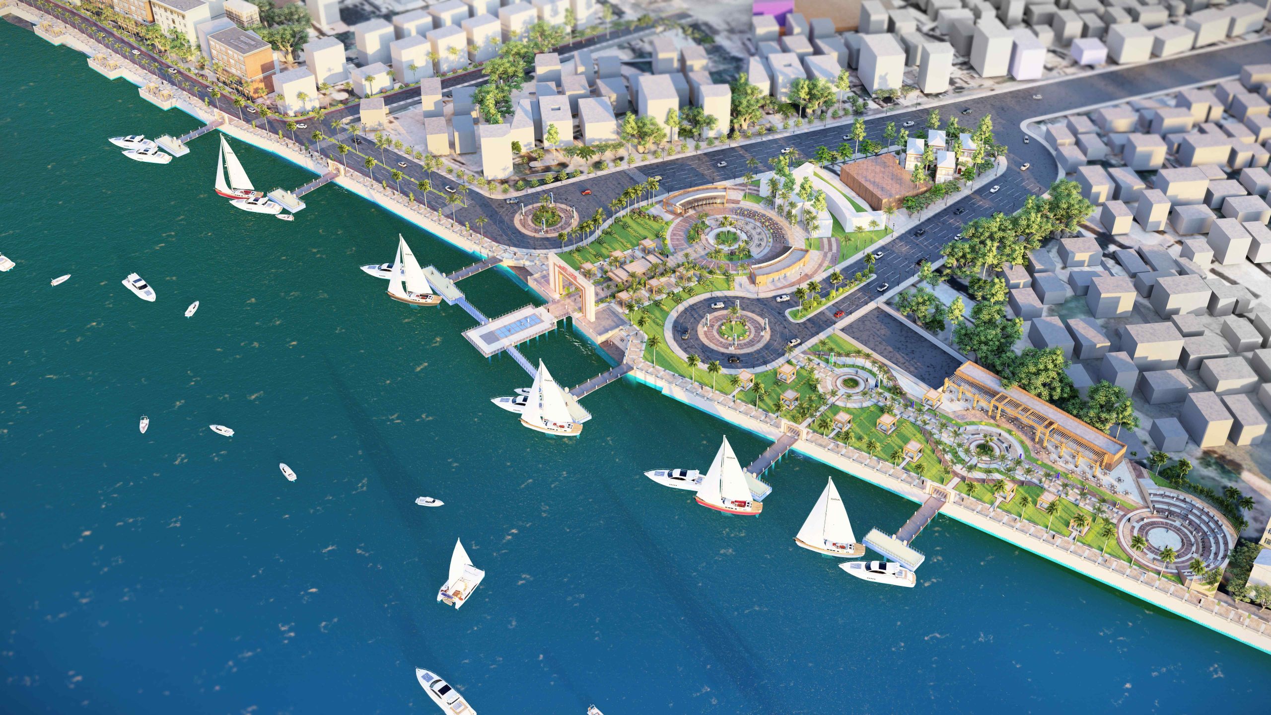


It turned out through the field visit and planning studies of the project site that the area to be developed can be divided into two main parts and each area will be identified and clarified and what will be done with it :
– The first part: the development area of the Corniche path with a length of 400 M and the surrounding part. Through the study of this part, it was found that there is a waste in exploiting the area overlooking the Nile Corniche, specifically Area A-B, as well as a lack of interest in the Corniche route to meet the needs of visitors to the western mainland, which can be exploited as an outlet and raise the efficiency of the city. Area A is represented by the central main park with an area of 7200 square meters and Area B overlooking the Nile with an area of 6300 square meters
– The second part: the area of the construction of an automobile road and a tourist walk. With a length of 450 m as the first stage, through the study of this part, it was found that there is a dirt road in front of the Nile River, which needs to be reconstructed and prepared because it causes danger due to the lack of a barrier between the road and the Nile River.
Design idea: the design idea of the project was based on the kinetic communication of tourists and visitors through the Nile River, which connects the main marina located in front of the Luxor Temple on the western mainland, where it was received through a main Marina surrounded by an entrance as a transit gate to the western mainland, and urban preparation was done through the work of a central main square surrounded by a set of recreational activities, which with the main marina ramsium)
